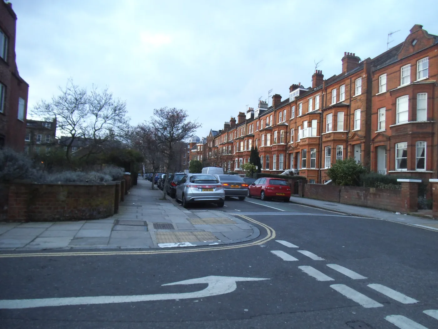

Residents who flooded in 2021 have mapped almost 9,600 sq m of rain gardens across South Hampstead and Kilburn, costed street by street, and taken it to Camden.
Residents whose streets flooded in July 2021 have asked Camden Council and Thames Water for a joint, funded plan before the next big storm. They brought their own evidence: a costed map of where rain gardens could go, street by street.
The South Hampstead Flood Action Group took a deputation to the full Council meeting on Monday 14 September. Its study, by the design and engineering consultancy Spring Collective, is now published in the council’s meeting papers. (Camden Council, Council agenda, 14 September 2026)
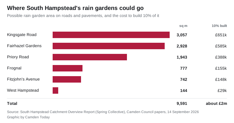
The study identifies 9,591 square metres of possible rain gardens on the area’s roads and pavements. Building a tenth of them would cost about £2 million. Building half would cost about £9.5 million. (South Hampstead Catchment Overview Report)
Why the same streets keep flooding
South Hampstead and Kilburn Priory flooded seriously in 1975, 2002 and 2021. The report says the July 2021 floods affected at least 88 properties.
The group’s statement describes what that meant. Some people lost everything to sewage contamination. Many had to move out for up to two years while their homes were repaired. Flood water and sewage rose over five feet in one basement flat. (Deputation statement)
The report puts it down to two things working together:
- Steep streets. Rain falling on West Hampstead and Frognal runs fast downhill, along Goldhurst Terrace, Fairhazel Gardens and Priory Road. Many roads in Frognal slope at 5 to 10%.
- A sewer pinch point. Thames Water’s combined sewer narrows where it passes under the railway line near Fairhazel Gardens. In heavy rain the water cannot get out of the area, so the sewer backs up.
Around 60% of the study area is hard surface: roofs, roads and paving. Many front gardens have been paved over for driveways. The O2 Centre area is more than 90% hard cover.
Where the rain gardens could go
The report splits the area into seven smaller catchments and gives highway figures for six of them. For the seventh, around the O2 Centre, it treats the redevelopment of the site as the main opportunity instead.
| Area | Possible rain gardens | Share of local highways drained | 10% built | 50% built |
|---|---|---|---|---|
| Frognal | 777 sq m | 31% | £155k | £778k |
| Fitzjohn’s Avenue | 742 sq m | 33% | £148k | £742k |
| West Hampstead | 144 sq m | 14% | £29k | £145k |
| Fairhazel Gardens | 2,928 sq m | 33% | £585k | £2.9m |
| Kingsgate Road | 3,057 sq m | 40% | £651k | £3m |
| Priory Road | 1,943 sq m | 34% | £388k | £1.9m |
Some of the named projects:
- rain gardens with underground storage at the Belsize Road roundabout
- redesigning the wide pavements and parking at the Fairfax Road shops
- re-landscaping Kilburn Grange Park to store flood water temporarily during storms
- a sustainable drainage project at Kingsgate Primary School, where the report says critical flow paths run straight through the site
- rain gardens along Fitzjohn’s Avenue, which the report says could store runoff from up to a 1-in-30-year storm
- a pocket park at the Finchley Road end of Netherhall Gardens
The report stresses how much land the council owns. In the Kingsgate Road catchment, over 65% of the land belongs to Camden, and almost half of the roof area is council housing.
What the group wants
The deputation asks Camden and Thames Water to:
- agree and fund a joint strategy for extreme rainstorms
- put more staff and money into flood prevention in Camden
- make developers show they will not push flood risk further down the catchment
- help schools, clubs, businesses and homeowners dig up paving and add water butts, green roofs and rain gardens
- help people in vulnerable homes fit flood protection
It also wants the government to ban paving front gardens with non-permeable materials, and to make landlords protect tenants in basement flats.
The council had not published a response when we checked on Tuesday morning.
What it means for you
- If you live below ground level, you are most at risk. The group singles out basement flats, especially those with no second way out.
- Your own garden counts. The report lists water butts, planters and digging up paved front gardens as things residents can do now. It suggests Thames Water funding may be available for some of them.
- Check your own risk. The government’s long-term flood risk service shows surface water risk by address.
If you are planning work on your home, our Camden planning page lists what has been applied for near you.
Have your say